Google Maps upset Ukrainians' positions photos: Russians actively using snapshots.

Updated Google Maps photos 'revealed' the locations of Ukrainian military positions.
Head of the Center for Countering Disinformation (CPD) Andriy Kovalenko reported that updated Google Maps photos revealed the locations of Ukrainian military positions. He appealed to Google Maps to correct this situation, but received a response that it was impossible due to the weekend. Russians, in turn, are actively using these snapshots.
"Imagine the situation. Google posts updated images on maps showing the locations of our military systems. We asked them to quickly correct this, but they said they are off on weekends. Russians are already actively using these snapshots. What is wrong with this world?" - Kovalenko wrote.
After the public reaction, the head of CPD reported that he contacted Google representatives. They are already working on correcting the situation with snapshots of the locations of Ukrainian military systems.
"We will also discuss how to promptly resolve similar issues in the future," - Kovalenko added.
Reminder, Russia attacked Kyiv and the region with drones overnight.
Read also
- Zelensky intends to replace the Ukrainian ambassador to the USA - Media
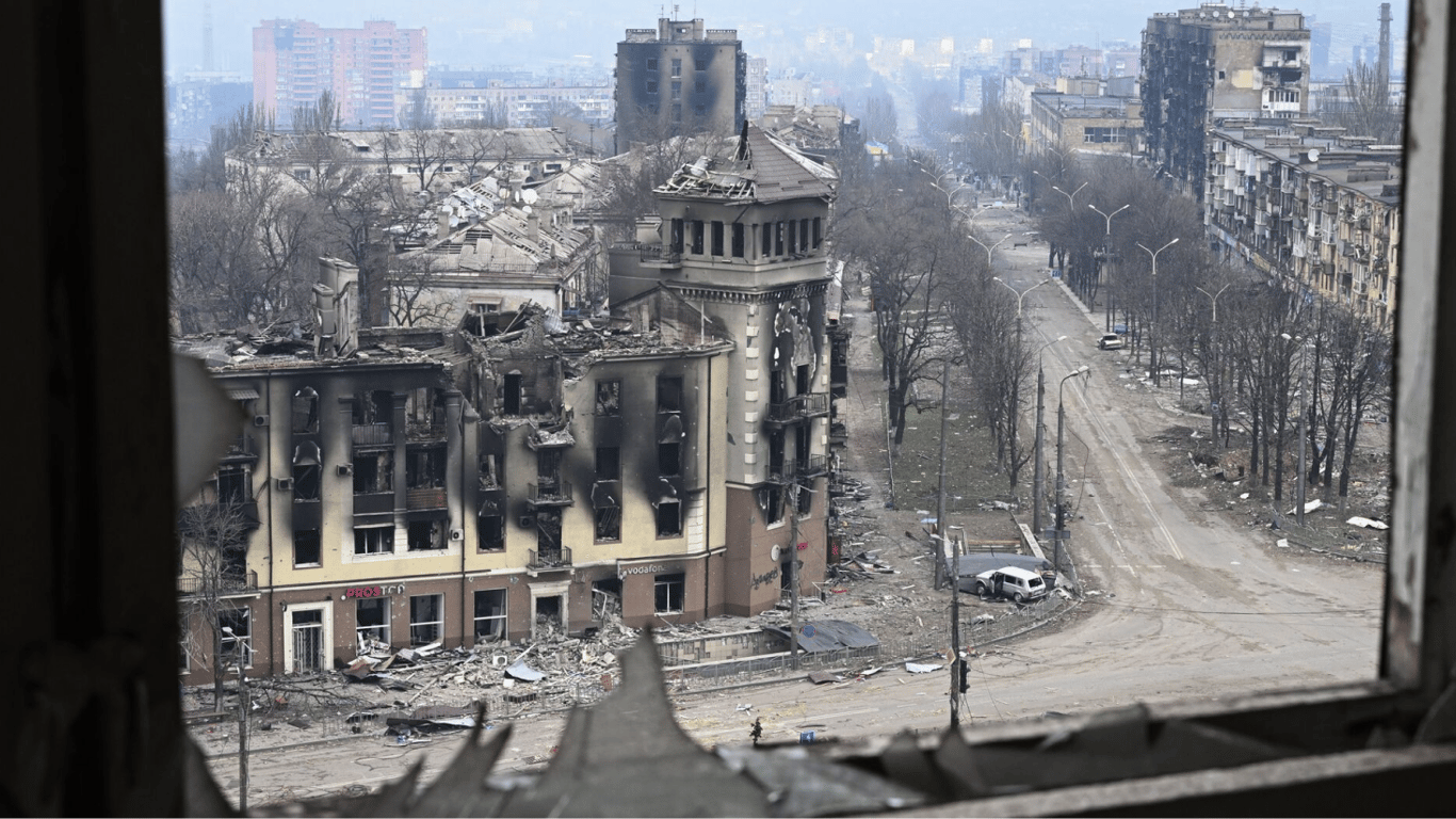
- The human rights activist explained that it indicates the horrific losses in Mariupol
- Educational Ombudsman made a statement about the Russian language in schools
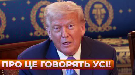
- Trump resumed arms supplies to Ukraine - Day.LIVE broadcast
- Turkey voiced Russia's demands for the resumption of negotiations with Ukraine
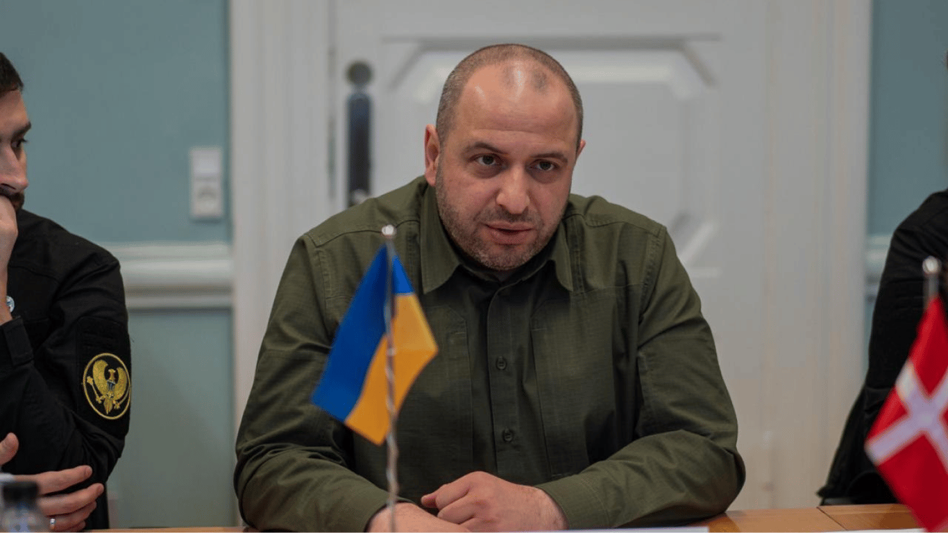
- The 'Army+' application has new reports - details from Umierov